How it was made
Roughly thirty seconds, then the detail underneath.
The problem
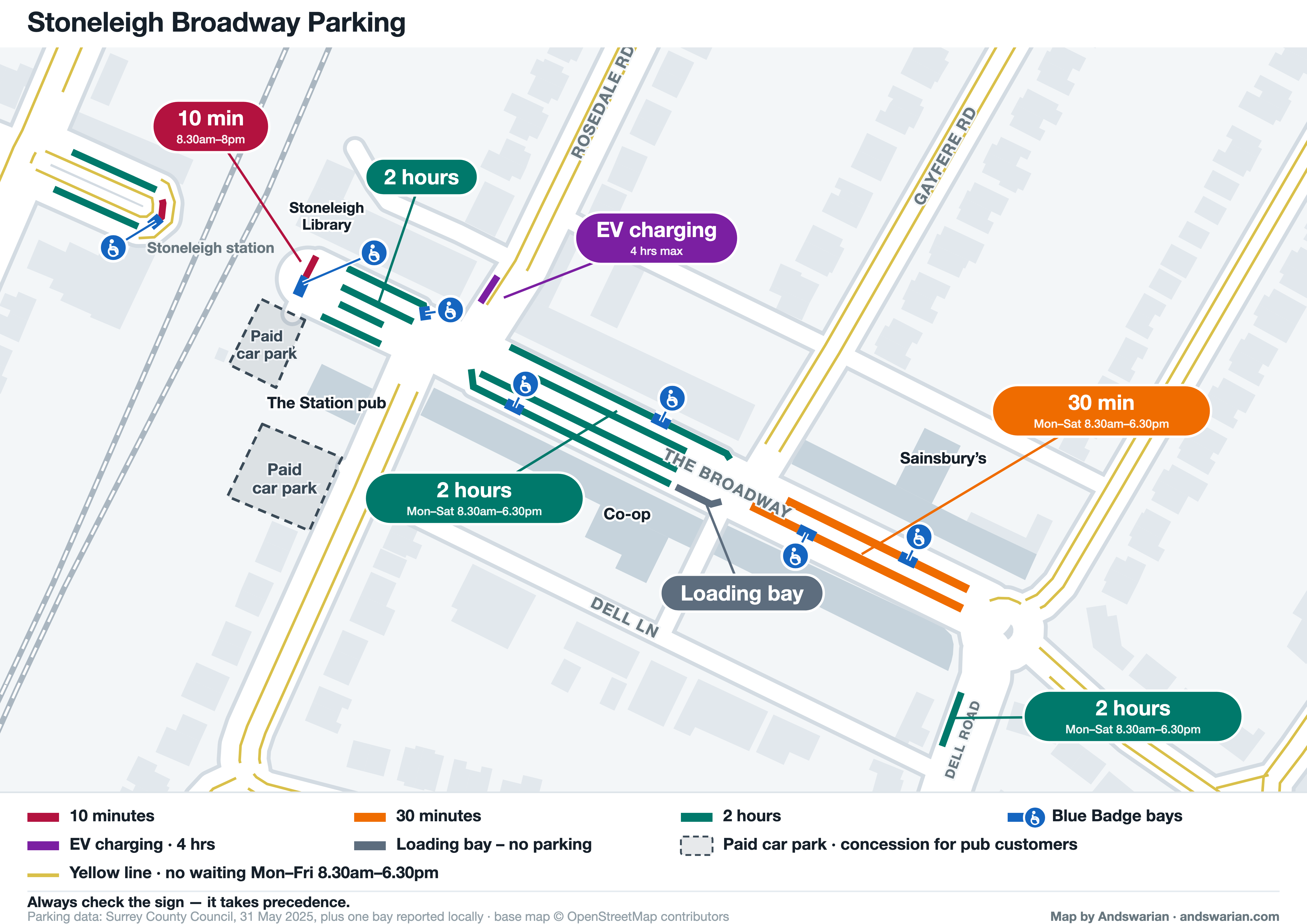
Shops on the Broadway could not tell customers where to park. Surrey County Council publishes the restrictions, but through a viewer that shows one line at a time. Useless for planning a trip, and impossible to put on a shop’s website.
The finding that made it work
Behind that viewer sits a live map service with query access open. Every restriction carries a plain-text field spelling the rule out in words: Parking Mon-Sat 8.30am-6.30pm 30mins no return 1hr. Parse that and the bays can be sorted by how long you may stay, which is the only thing a shopper actually needs to know.
Rebuilding the street, and what that broke
Open mapping gives you roads as centrelines, not kerbs. Every marking therefore had to be re-derived from the council data and placed against the street ourselves, and each step of that introduced a problem to find and fix.
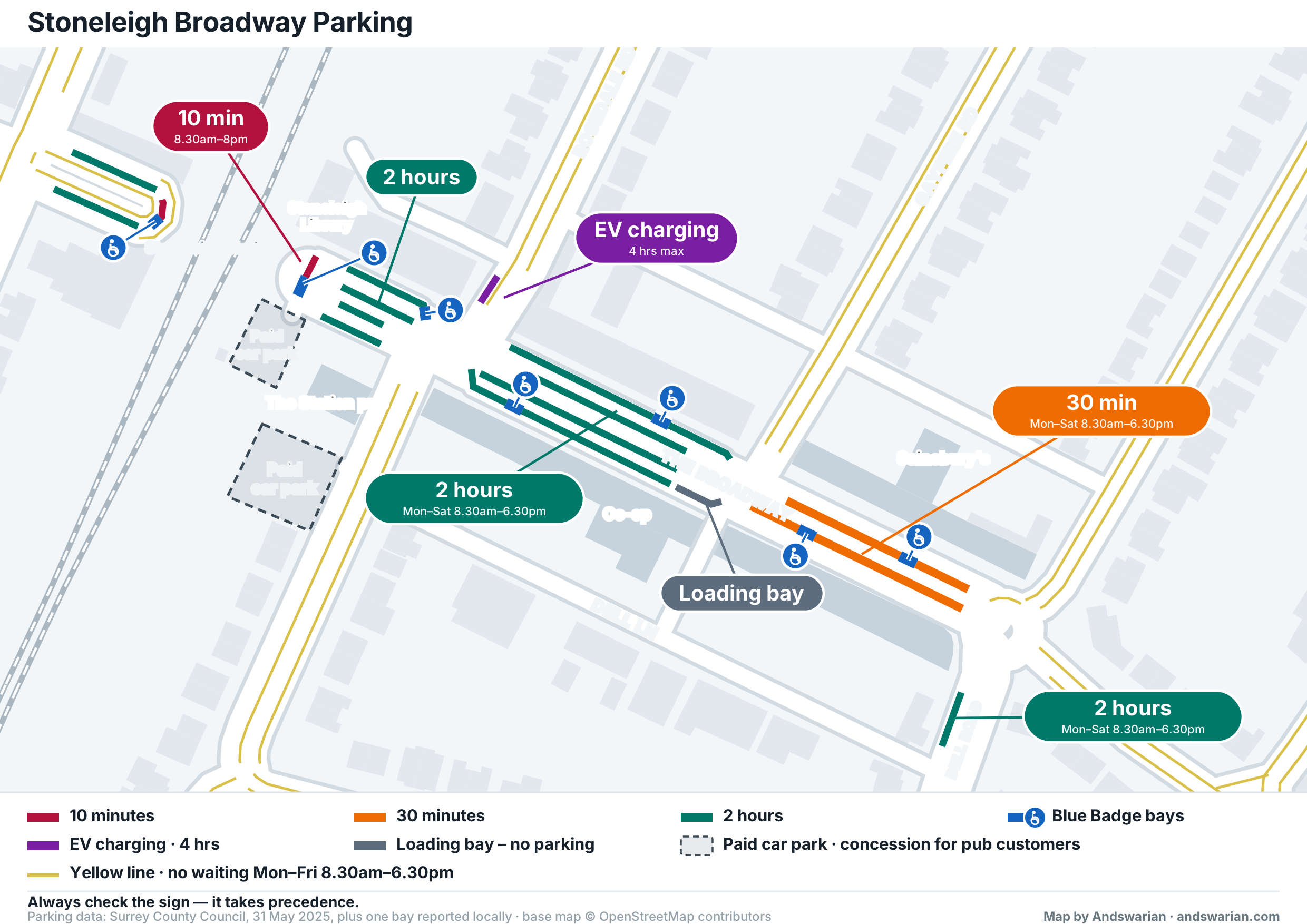
Our first draft put four yellow lines down every street. Two causes, both ours: the open map records the parade as a carriageway plus nine unnamed service lay-bys, so each got its own pair of lines; and we were drawing a separate restriction, a pavement parking ban, as though it were a kerbside line — 5,457 m of it.
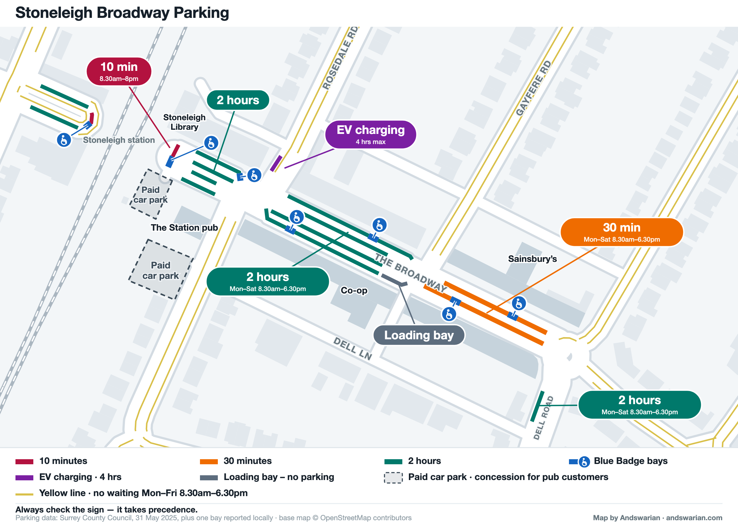
Then every bay landed on one line. Forcing each marking to a fixed kerb offset collapsed two distinct rows into one. Measuring against the shopfronts settled what was really there: buildings 11–15 m from the centreline, kerbside bays at 8–9 m, and a second row down the middle at 2–5 m. Two rows a side, exactly as it looks when you stand there.
And four runs of bays vanished without a trace. They sit just past the end of a short stretch of road, where our projection maths clamped them to a single point, measured them as zero length, and discarded them as too small to draw.
Then we drove it
Every plate read against the record. Most matched. Three did not.
| Bay | Council record | Sign on the street |
|---|---|---|
| 10-minute bays | Mon–Sat 6.30am–8pm | 8.30am–8pm, no days |
| 2-hour bays by the pub | Mon–Sat 8.30am–6.30pm | No days or times |
| Blue Badge bays | 3 hours | No limit shown |
A traffic order is enforced from the sign, so the plates govern, which makes the published record the thing that is out of date. An hour in the car is what separates a map that looks authoritative from one that is.
Corrections welcome
The first one arrived within days of the map going round locally: a Blue Badge bay by the Co-op that is missing from the county’s extract altogether. It is on the map now, laid on the same bay row as its neighbours, and the footer says so. Stoneleigh Library has been added as a landmark for the same reason: local knowledge, not a data source.
If something here does not match the sign outside your shop, tell us and it gets fixed: chris@andswarian.com.